Path to Rosshead
Introduction
The photograph on this page of Path to Rosshead by Lairich Rig as part of the Geograph project.
The Geograph project started in 2005 with the aim of publishing, organising and preserving representative images for every square kilometre of Great Britain, Ireland and the Isle of Man.

There are currently over 7.5m images from over 14,400 individuals and you can help contribute to the project by visiting https://www.geograph.org.uk
Path to Rosshead
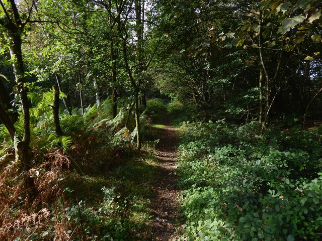
Image: © Lairich Rig Taken: 30 Sep 2019
It passes through the northern part of Boathouse Wood, to emerge at Image (an area of housing), beside a small fenced-in games court. See Image for a view in the opposite direction.
Images are licensed for reuse under creativecommons.org/licenses/by-sa/2.0
Image Location


Leaflet Map data © OpenStreetMap
Latitude
55.997804
Longitude
-4.579454