Site of old filter beds
Introduction
The photograph on this page of Site of old filter beds by Lairich Rig as part of the Geograph project.
The Geograph project started in 2005 with the aim of publishing, organising and preserving representative images for every square kilometre of Great Britain, Ireland and the Isle of Man.

There are currently over 7.5m images from over 14,400 individuals and you can help contribute to the project by visiting https://www.geograph.org.uk
Site of old filter beds
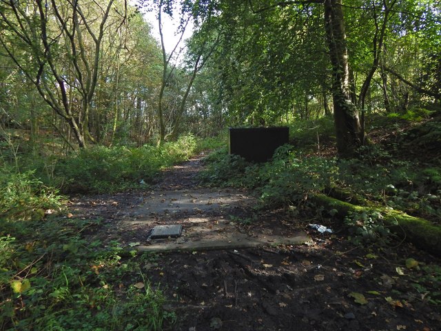
Image: © Lairich Rig Taken: 30 Sep 2019
On OS mapping from 1914 to at least 1936, this site was marked "Septic Tanks & Filter Beds (Dumbarton County Council)". See Image for a view from the south. Boathouse Wood is to the south, and Fishers Wood to the north. A more recent project (2004—05) in the same area was Fisherwood Combined Storm Overflow.
Images are licensed for reuse under creativecommons.org/licenses/by-sa/2.0
Image Location
Latitude
55.998246
Longitude
-4.579804