Terraced housing on Dudley Road near Blakenhall, Wolverhampton
Introduction
The photograph on this page of Terraced housing on Dudley Road near Blakenhall, Wolverhampton by Roger Kidd as part of the Geograph project.
The Geograph project started in 2005 with the aim of publishing, organising and preserving representative images for every square kilometre of Great Britain, Ireland and the Isle of Man.

There are currently over 7.5m images from over 14,400 individuals and you can help contribute to the project by visiting https://www.geograph.org.uk
Terraced housing on Dudley Road near Blakenhall, Wolverhampton
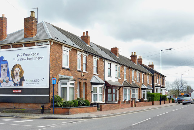
Image: © Roger Kidd Taken: 20 Apr 2012
This shows late Victorian housing on the A459 Dudley Road, at the junction with Phoenix Street, looking south towards the Fighting Cocks crossroads.
Images are licensed for reuse under creativecommons.org/licenses/by-sa/2.0
Image Location
Latitude
52.569229
Longitude
-2.124185