Farmland near Burton-le-Coggles
Introduction
The photograph on this page of Farmland near Burton-le-Coggles by Kate Jewell as part of the Geograph project.
The Geograph project started in 2005 with the aim of publishing, organising and preserving representative images for every square kilometre of Great Britain, Ireland and the Isle of Man.

There are currently over 7.5m images from over 14,400 individuals and you can help contribute to the project by visiting https://www.geograph.org.uk
Farmland near Burton-le-Coggles
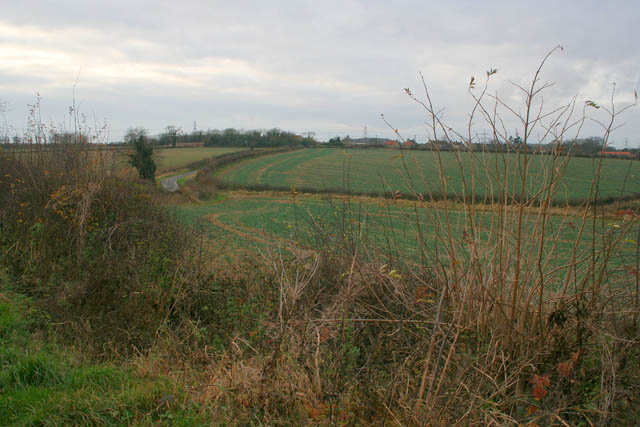
Image: © Kate Jewell Taken: 5 Dec 2007
Corby Road drops down into a steep little valley before rising again to enter the village which can be seen on the horizon.
Images are licensed for reuse under creativecommons.org/licenses/by-sa/2.0
Image Location
Latitude
52.818102
Longitude
-0.54415