Roughly vegetated field beside the A55
Introduction
The photograph on this page of Roughly vegetated field beside the A55 by Trevor Littlewood as part of the Geograph project.
The Geograph project started in 2005 with the aim of publishing, organising and preserving representative images for every square kilometre of Great Britain, Ireland and the Isle of Man.

There are currently over 7.5m images from over 14,400 individuals and you can help contribute to the project by visiting https://www.geograph.org.uk
Roughly vegetated field beside the A55
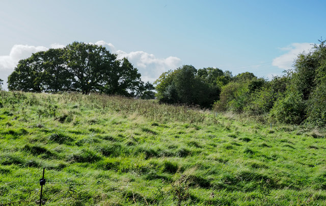
Image: © Trevor Littlewood Taken: 8 Oct 2019
The field is on the south-west side of a lay-by of the A55 dual carriageway close to the district of Drury, which appears to be either a part of Buckley or of Connah's Quay.
Images are licensed for reuse under creativecommons.org/licenses/by-sa/2.0
Image Location
Latitude
53.17326
Longitude
-3.048247