Stonedge Forest from Lurgiescleuch road near Hobkirk
Introduction
The photograph on this page of Stonedge Forest from Lurgiescleuch road near Hobkirk by ian shiell as part of the Geograph project.
The Geograph project started in 2005 with the aim of publishing, organising and preserving representative images for every square kilometre of Great Britain, Ireland and the Isle of Man.

There are currently over 7.5m images from over 14,400 individuals and you can help contribute to the project by visiting https://www.geograph.org.uk
Stonedge Forest from Lurgiescleuch road near Hobkirk
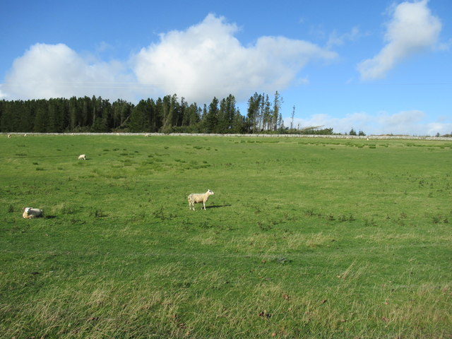
Image: © ian shiell Taken: 8 Oct 2019
I had to use paces from previous identifiable spot to locate this satisfactorily: never navigate by forest features if you do not know the ground!!
Images are licensed for reuse under creativecommons.org/licenses/by-sa/2.0
Image Location
Latitude
55.364901
Longitude
-2.698369