Old and new A379s south of Dawlish
Introduction
The photograph on this page of Old and new A379s south of Dawlish by Derek Harper as part of the Geograph project.
The Geograph project started in 2005 with the aim of publishing, organising and preserving representative images for every square kilometre of Great Britain, Ireland and the Isle of Man.

There are currently over 7.5m images from over 14,400 individuals and you can help contribute to the project by visiting https://www.geograph.org.uk
Old and new A379s south of Dawlish
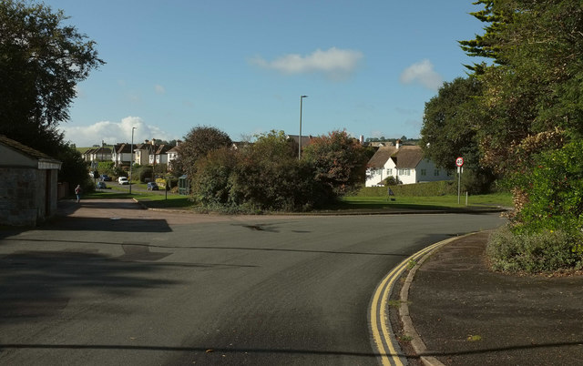
Image: © Derek Harper Taken: 6 Oct 2019
The course of the old A379, from which this is taken, was along the cul-se-sac on the left. The road (itself a cul-de-sac, see Image]) sweeps around to a T junction with the modern A379. The coast path, which has been following the old road, continues into the cul-de-sac but then turns left, as the verge approaches the main road, onto a path towards the coast.
Images are licensed for reuse under creativecommons.org/licenses/by-sa/2.0
Image Location
Latitude
50.571366
Longitude
-3.472523