Hopeman seen from the sea
Introduction
The photograph on this page of Hopeman seen from the sea by Alan Murray-Rust as part of the Geograph project.
The Geograph project started in 2005 with the aim of publishing, organising and preserving representative images for every square kilometre of Great Britain, Ireland and the Isle of Man.

There are currently over 7.5m images from over 14,400 individuals and you can help contribute to the project by visiting https://www.geograph.org.uk
Hopeman seen from the sea
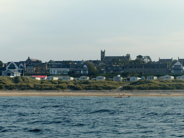
Image: © Alan Murray-Rust Taken: 22 Sep 2019
The parish kirk, built in the 1850s, is a notable landmark.
Images are licensed for reuse under creativecommons.org/licenses/by-sa/2.0
Image Location
Latitude
57.705794
Longitude
-3.43591