The Crescent, Micklefield
Introduction
The photograph on this page of The Crescent, Micklefield by Stephen Craven as part of the Geograph project.
The Geograph project started in 2005 with the aim of publishing, organising and preserving representative images for every square kilometre of Great Britain, Ireland and the Isle of Man.

There are currently over 7.5m images from over 14,400 individuals and you can help contribute to the project by visiting https://www.geograph.org.uk
The Crescent, Micklefield
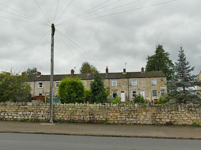
Image: © Stephen Craven Taken: 6 Oct 2019
A rather grand name for a terrace of housing in a former pit village, that isn't even built on a curve as the name suggests.
Images are licensed for reuse under creativecommons.org/licenses/by-sa/2.0
Image Location


Leaflet Map data © OpenStreetMap
Latitude
53.787832
Longitude
-1.327416