Trinity Lane, Wareham
Introduction
The photograph on this page of Trinity Lane, Wareham by Derek Harper as part of the Geograph project.
The Geograph project started in 2005 with the aim of publishing, organising and preserving representative images for every square kilometre of Great Britain, Ireland and the Isle of Man.

There are currently over 7.5m images from over 14,400 individuals and you can help contribute to the project by visiting https://www.geograph.org.uk
Trinity Lane, Wareham
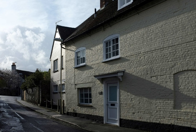
Image: © Derek Harper Taken: 4 Apr 2019
The street seen from its junction with South Street. On the left in the background is a glimpse of The Rectory https://historicengland.org.uk/listing/the-list/list-entry/1119935 and its surrounding wall https://historicengland.org.uk/listing/the-list/list-entry/1119999 .
Images are licensed for reuse under creativecommons.org/licenses/by-sa/2.0
Image Location


Leaflet Map data © OpenStreetMap
Latitude
50.684763
Longitude
-2.109791