Wellingore Windmill
Introduction
The photograph on this page of Wellingore Windmill by Bob Harvey as part of the Geograph project.
The Geograph project started in 2005 with the aim of publishing, organising and preserving representative images for every square kilometre of Great Britain, Ireland and the Isle of Man.

There are currently over 7.5m images from over 14,400 individuals and you can help contribute to the project by visiting https://www.geograph.org.uk
Wellingore Windmill
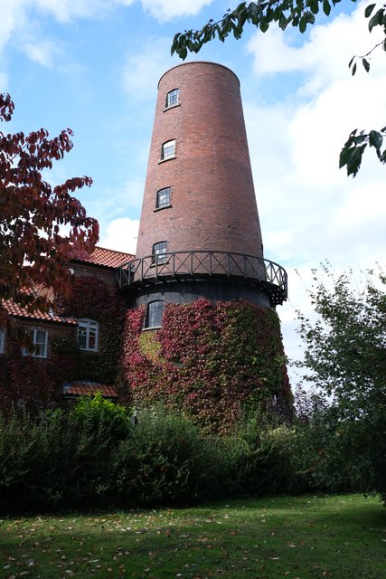
Image: © Bob Harvey Taken: 5 Oct 2019
Seen from the adjacent public park known as "windmill field". This is a grade II listed building, see https://historicengland.org.uk/listing/the-list/list-entry/1147665
Images are licensed for reuse under creativecommons.org/licenses/by-sa/2.0
Image Location
Latitude
53.10149
Longitude
-0.531314