Carvel Street, Lossiemouth
Introduction
The photograph on this page of Carvel Street, Lossiemouth by Alan Murray-Rust as part of the Geograph project.
The Geograph project started in 2005 with the aim of publishing, organising and preserving representative images for every square kilometre of Great Britain, Ireland and the Isle of Man.

There are currently over 7.5m images from over 14,400 individuals and you can help contribute to the project by visiting https://www.geograph.org.uk
Carvel Street, Lossiemouth
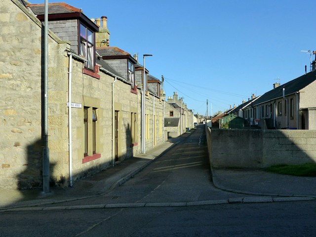
Image: © Alan Murray-Rust Taken: 21 Sep 2019
Part of the 19th century grid-pattern development originally named Branderburgh which followed the improvement of the harbour between 1837 and 1860. This is a one-sided street, the houses facing the backs of houses on Commerce Street.
Images are licensed for reuse under creativecommons.org/licenses/by-sa/2.0
Image Location
Latitude
57.723918
Longitude
-3.287697