Awel y Mynydd House, Newport
Introduction
The photograph on this page of Awel y Mynydd House, Newport by Richard Law as part of the Geograph project.
The Geograph project started in 2005 with the aim of publishing, organising and preserving representative images for every square kilometre of Great Britain, Ireland and the Isle of Man.

There are currently over 7.5m images from over 14,400 individuals and you can help contribute to the project by visiting https://www.geograph.org.uk
Awel y Mynydd House, Newport
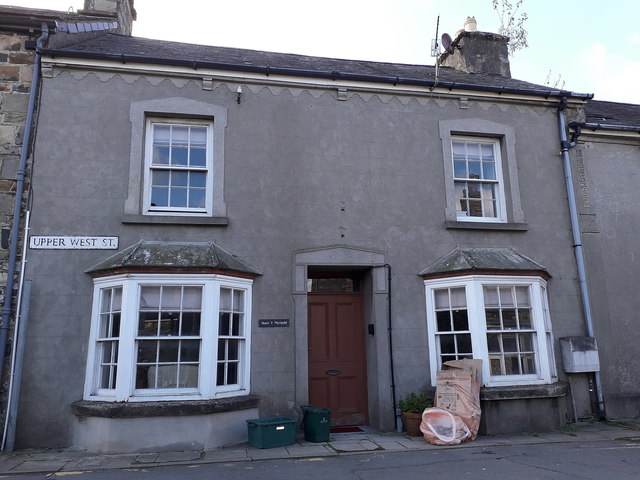
Image: © Richard Law Taken: 17 Sep 2019
Despite later alterations which hide much of the structure, Awel y Mynydd is actually an early 19th century house, which attracted a Grade II listing https://britishlistedbuildings.co.uk/300012518-awel-y-mynydd-newport#.XZjRgEZKjIU in 1992, along with its adjoining neighbours.
Images are licensed for reuse under creativecommons.org/licenses/by-sa/2.0
Image Location
Latitude
52.015597
Longitude
-4.835418