Gillingham Gate development
Introduction
The photograph on this page of Gillingham Gate development by David Anstiss as part of the Geograph project.
The Geograph project started in 2005 with the aim of publishing, organising and preserving representative images for every square kilometre of Great Britain, Ireland and the Isle of Man.

There are currently over 7.5m images from over 14,400 individuals and you can help contribute to the project by visiting https://www.geograph.org.uk
Gillingham Gate development
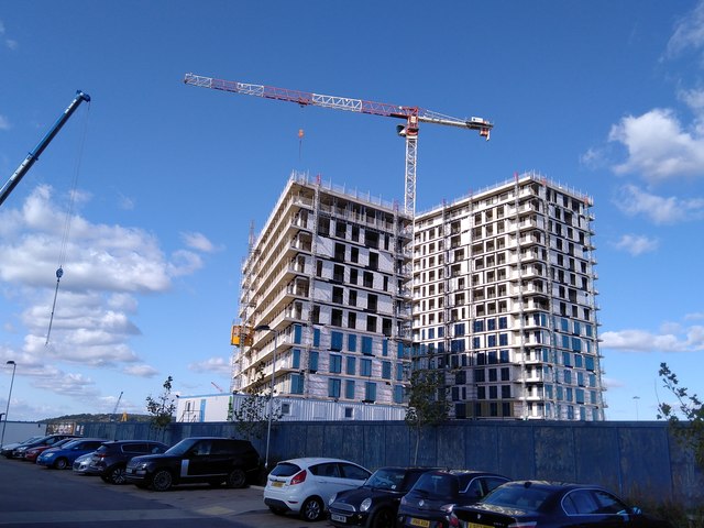
Image: © David Anstiss Taken: 2 Oct 2019
Another Chatham Waters development on the former Chatham docks site. As seen from the car park of a nearby Marstons pub, The Mast and Rigging.
Images are licensed for reuse under creativecommons.org/licenses/by-sa/2.0
Image Location
Latitude
51.397927
Longitude
0.550482