Field near Langston
Introduction
The photograph on this page of Field near Langston by Derek Harper as part of the Geograph project.
The Geograph project started in 2005 with the aim of publishing, organising and preserving representative images for every square kilometre of Great Britain, Ireland and the Isle of Man.

There are currently over 7.5m images from over 14,400 individuals and you can help contribute to the project by visiting https://www.geograph.org.uk
Field near Langston
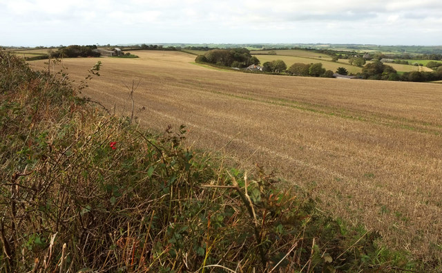
Image: © Derek Harper Taken: 3 Oct 2019
Looking to the left from where Image] was taken. Langston is among trees on the right in Image, while the barn left of centre is near Langston Cross.
Images are licensed for reuse under creativecommons.org/licenses/by-sa/2.0
Image Location
Latitude
50.321832
Longitude
-3.897759