Path behind Douglas Terrace
Introduction
The photograph on this page of Path behind Douglas Terrace by Lairich Rig as part of the Geograph project.
The Geograph project started in 2005 with the aim of publishing, organising and preserving representative images for every square kilometre of Great Britain, Ireland and the Isle of Man.

There are currently over 7.5m images from over 14,400 individuals and you can help contribute to the project by visiting https://www.geograph.org.uk
Path behind Douglas Terrace
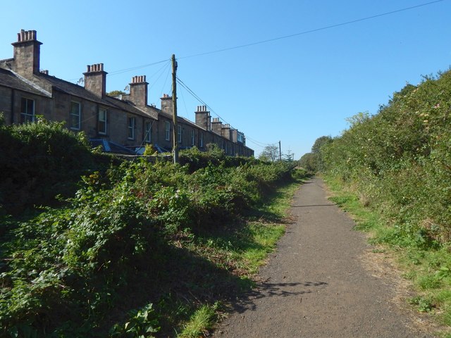
Image: © Lairich Rig Taken: 21 Sep 2019
The houses to the left are on Douglas Terrace. On the right is a steep slope leading up to King's Park: Image
Images are licensed for reuse under creativecommons.org/licenses/by-sa/2.0
Image Location
Latitude
56.113141
Longitude
-3.95711