Lambs, Duns Law
Introduction
The photograph on this page of Lambs, Duns Law by Richard Webb as part of the Geograph project.
The Geograph project started in 2005 with the aim of publishing, organising and preserving representative images for every square kilometre of Great Britain, Ireland and the Isle of Man.

There are currently over 7.5m images from over 14,400 individuals and you can help contribute to the project by visiting https://www.geograph.org.uk
Lambs, Duns Law
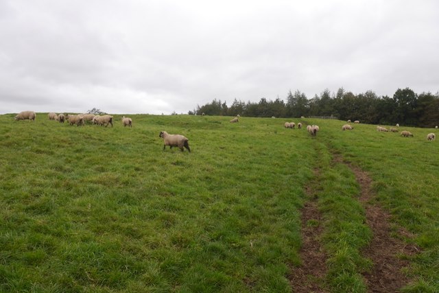
Image: © Richard Webb Taken: 30 Sep 2019
The summit field with earthworks from an Iron Age fort, Roman encampment and the Covananters. There is often livestock here.
Images are licensed for reuse under creativecommons.org/licenses/by-sa/2.0
Image Location
Latitude
55.7854
Longitude
-2.343913