Stonehaven Harbour
Introduction
The photograph on this page of Stonehaven Harbour by Anne Burgess as part of the Geograph project.
The Geograph project started in 2005 with the aim of publishing, organising and preserving representative images for every square kilometre of Great Britain, Ireland and the Isle of Man.

There are currently over 7.5m images from over 14,400 individuals and you can help contribute to the project by visiting https://www.geograph.org.uk
Stonehaven Harbour
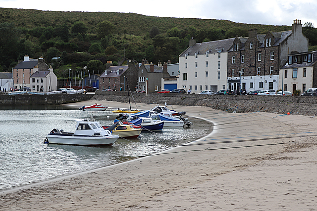
Image: © Anne Burgess Taken: 11 Sep 2019
The inner harbour is lined with 18th and 19th century buildings, many now in use as hostelries of one sort or another.
Images are licensed for reuse under creativecommons.org/licenses/by-sa/2.0
Image Location
Latitude
56.960031
Longitude
-2.204044