Stonehaven
Introduction
The photograph on this page of Stonehaven by Anne Burgess as part of the Geograph project.
The Geograph project started in 2005 with the aim of publishing, organising and preserving representative images for every square kilometre of Great Britain, Ireland and the Isle of Man.

There are currently over 7.5m images from over 14,400 individuals and you can help contribute to the project by visiting https://www.geograph.org.uk
Stonehaven
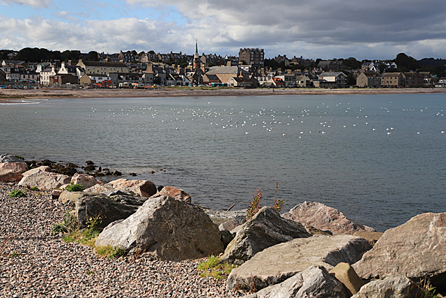
Image: © Anne Burgess Taken: 11 Sep 2019
This is the view across the bay from beside the car park at the harbour.
Images are licensed for reuse under creativecommons.org/licenses/by-sa/2.0
Image Location
Latitude
56.963978
Longitude
-2.207355