Former graveyard, Cross Street
Introduction
The photograph on this page of Former graveyard, Cross Street by Mike Quinn as part of the Geograph project.
The Geograph project started in 2005 with the aim of publishing, organising and preserving representative images for every square kilometre of Great Britain, Ireland and the Isle of Man.

There are currently over 7.5m images from over 14,400 individuals and you can help contribute to the project by visiting https://www.geograph.org.uk
Former graveyard, Cross Street
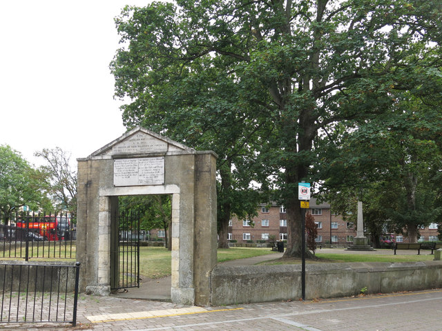
Image: © Mike Quinn Taken: 11 Sep 2019
The land was given for use as a graveyard in 1576; it was closed in 1855 - see Image Now it's a small urban park in the middle of a gyratory system.
Images are licensed for reuse under creativecommons.org/licenses/by-sa/2.0
Image Location
Latitude
51.544336
Longitude
-0.480893