Lane to the southwest of Peniel, Carmarthenshire
Introduction
The photograph on this page of Lane to the southwest of Peniel, Carmarthenshire by Jaggery as part of the Geograph project.
The Geograph project started in 2005 with the aim of publishing, organising and preserving representative images for every square kilometre of Great Britain, Ireland and the Isle of Man.

There are currently over 7.5m images from over 14,400 individuals and you can help contribute to the project by visiting https://www.geograph.org.uk
Lane to the southwest of Peniel, Carmarthenshire
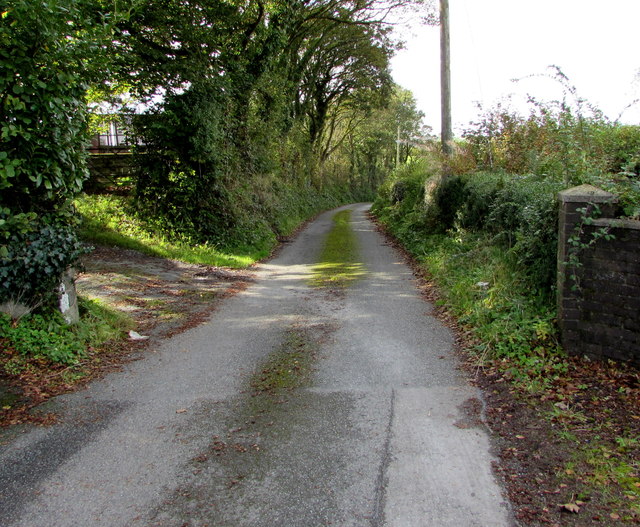
Image: © Jaggery Taken: 2 Oct 2019
Viewed from Maes Brynglas near these https://www.geograph.org.uk/photo/6286278 National Speed Limit signs. Ahead for Bronwydd.
Images are licensed for reuse under creativecommons.org/licenses/by-sa/2.0
Image Location
Latitude
51.893108
Longitude
-4.277765