Weir on the River Colne, Golcar
Introduction
The photograph on this page of Weir on the River Colne, Golcar by Humphrey Bolton as part of the Geograph project.
The Geograph project started in 2005 with the aim of publishing, organising and preserving representative images for every square kilometre of Great Britain, Ireland and the Isle of Man.

There are currently over 7.5m images from over 14,400 individuals and you can help contribute to the project by visiting https://www.geograph.org.uk
Weir on the River Colne, Golcar
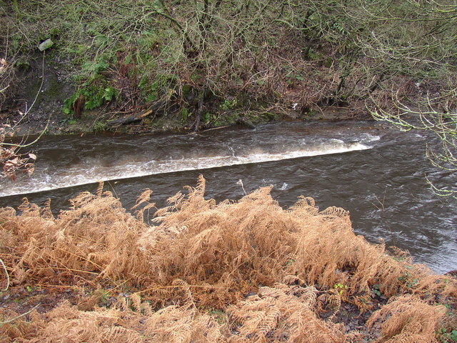
Image: © Humphrey Bolton Taken: 6 Dec 2007
This weir crosses the river at a shallow angle. The conduit that would have taken water from the river was not visible – but there is a puzzle, as there is a steep hillside on the other (Linthwaite) side, and on this side a strip of land between canal and river that ends at the aqueduct, so where and how was the water taken?
Images are licensed for reuse under creativecommons.org/licenses/by-sa/2.0
Image Location
Latitude
53.636814
Longitude
-1.841162