Cowlersley Lane, Linthwaite
Introduction
The photograph on this page of Cowlersley Lane, Linthwaite by Humphrey Bolton as part of the Geograph project.
The Geograph project started in 2005 with the aim of publishing, organising and preserving representative images for every square kilometre of Great Britain, Ireland and the Isle of Man.

There are currently over 7.5m images from over 14,400 individuals and you can help contribute to the project by visiting https://www.geograph.org.uk
Cowlersley Lane, Linthwaite
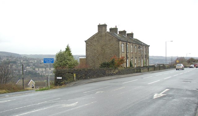
Image: © Humphrey Bolton Taken: 6 Dec 2007
This road climbs steadily from Milnsbridge and eventually reaches the old turnpike road at Blackmoorfoot. It was perhaps a feeder road from the townships on the western side of Huddersfield. These isolated terraces of houses often occur, and might be the result of the builder buying up a small piece of land that was not much good for farming – in this case it was rough land hemmed in by quarries along Guy Edge. The modern houses down Slant Gate on the left were built on quarried land.
Images are licensed for reuse under creativecommons.org/licenses/by-sa/2.0
Image Location
Latitude
53.628731
Longitude
-1.845728