Former stables to Sea Park House, west wing
Introduction
The photograph on this page of Former stables to Sea Park House, west wing by Alan Murray-Rust as part of the Geograph project.
The Geograph project started in 2005 with the aim of publishing, organising and preserving representative images for every square kilometre of Great Britain, Ireland and the Isle of Man.

There are currently over 7.5m images from over 14,400 individuals and you can help contribute to the project by visiting https://www.geograph.org.uk
Former stables to Sea Park House, west wing
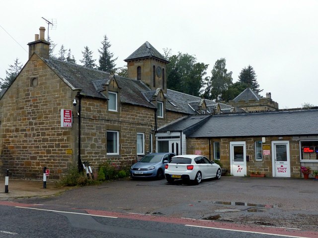
Image: © Alan Murray-Rust Taken: 18 Sep 2019
This is the road side of the buildings seen here https://www.geograph.org.uk/photo/2337932 , where they have been converted for retail use. Dated 1868, Listed Category B http://portal.historicenvironment.scot/designation/LB8683
Images are licensed for reuse under creativecommons.org/licenses/by-sa/2.0
Image Location
Latitude
57.634281
Longitude
-3.572273