Broom of Moy
Introduction
The photograph on this page of Broom of Moy by Alan Murray-Rust as part of the Geograph project.
The Geograph project started in 2005 with the aim of publishing, organising and preserving representative images for every square kilometre of Great Britain, Ireland and the Isle of Man.

There are currently over 7.5m images from over 14,400 individuals and you can help contribute to the project by visiting https://www.geograph.org.uk
Broom of Moy
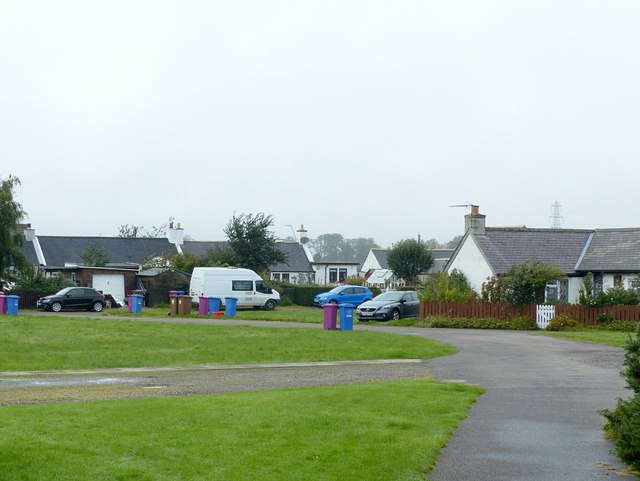
Image: © Alan Murray-Rust Taken: 18 Sep 2019
View of the settlement from the path off the bridge over the River Findhorn. The path forms part of National Cycle Route 1
Images are licensed for reuse under creativecommons.org/licenses/by-sa/2.0
Image Location
Latitude
57.612716
Longitude
-3.643155