Cowper Cote
Introduction
The photograph on this page of Cowper Cote by Stephen Craven as part of the Geograph project.
The Geograph project started in 2005 with the aim of publishing, organising and preserving representative images for every square kilometre of Great Britain, Ireland and the Isle of Man.

There are currently over 7.5m images from over 14,400 individuals and you can help contribute to the project by visiting https://www.geograph.org.uk
Cowper Cote
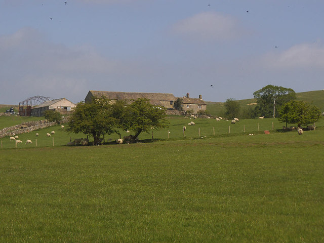
Image: © Stephen Craven Taken: 8 May 2018
See Image for a view from the other side. The farmhouse is listed grade II (list entry 1317080).
Images are licensed for reuse under creativecommons.org/licenses/by-sa/2.0
Image Location
Latitude
54.02379
Longitude
-2.118259