Atlas house, Exeter
Introduction
The photograph on this page of Atlas house, Exeter by Derek Harper as part of the Geograph project.
The Geograph project started in 2005 with the aim of publishing, organising and preserving representative images for every square kilometre of Great Britain, Ireland and the Isle of Man.

There are currently over 7.5m images from over 14,400 individuals and you can help contribute to the project by visiting https://www.geograph.org.uk
Atlas house, Exeter
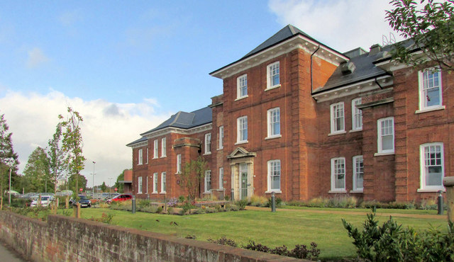
Image: © Derek Harper Taken: 28 Sep 2019
Shown in its former guise as a hospital building and during closure at http://www.geograph.org.uk/gridref/SX9392?centi=SX932926 . Now student accommodation; a new building has risen beside it - see Image
Images are licensed for reuse under creativecommons.org/licenses/by-sa/2.0
Image Location
Latitude
50.723357
Longitude
-3.514402