Playing fields at East Stanley
Introduction
The photograph on this page of Playing fields at East Stanley by Robert Graham as part of the Geograph project.
The Geograph project started in 2005 with the aim of publishing, organising and preserving representative images for every square kilometre of Great Britain, Ireland and the Isle of Man.

There are currently over 7.5m images from over 14,400 individuals and you can help contribute to the project by visiting https://www.geograph.org.uk
Playing fields at East Stanley
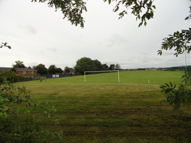
Image: © Robert Graham Taken: 13 Sep 2019
These are behind North Durham Academy, next to the schools own playing fields.
Images are licensed for reuse under creativecommons.org/licenses/by-sa/2.0
Image Location
Latitude
54.869755
Longitude
-1.689112