Peak Forest Canal east of Marple, Stockport
Introduction
The photograph on this page of Peak Forest Canal east of Marple, Stockport by Roger Kidd as part of the Geograph project.
The Geograph project started in 2005 with the aim of publishing, organising and preserving representative images for every square kilometre of Great Britain, Ireland and the Isle of Man.

There are currently over 7.5m images from over 14,400 individuals and you can help contribute to the project by visiting https://www.geograph.org.uk
Peak Forest Canal east of Marple, Stockport
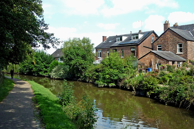
Image: © Roger Kidd Taken: 7 Sep 2014
This shows the Peak Forest Canal between Locks 11 and 12 of the Marple flight. The housing is in St Martin's Road.
Images are licensed for reuse under creativecommons.org/licenses/by-sa/2.0
Image Location
Latitude
53.396196
Longitude
-2.058911