Victoria Villas, Denbigh Road, Hooe Common
Introduction
The photograph on this page of Victoria Villas, Denbigh Road, Hooe Common by Simon Carey as part of the Geograph project.
The Geograph project started in 2005 with the aim of publishing, organising and preserving representative images for every square kilometre of Great Britain, Ireland and the Isle of Man.

There are currently over 7.5m images from over 14,400 individuals and you can help contribute to the project by visiting https://www.geograph.org.uk
Victoria Villas, Denbigh Road, Hooe Common
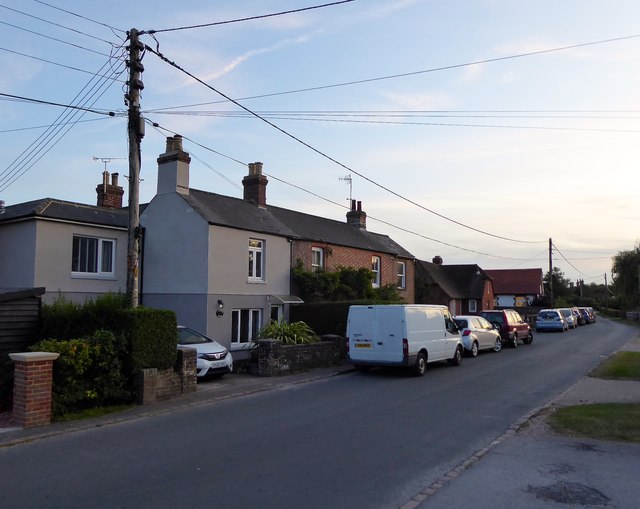
Image: © Simon Carey Taken: 21 Sep 2019
A pair of cottages opposite the red Lion that were marked on the 1873 OS map but not Hooe's 1839 tithe map.
Images are licensed for reuse under creativecommons.org/licenses/by-sa/2.0
Image Location
Latitude
50.869045
Longitude
0.404094