Road junction and cottage
Introduction
The photograph on this page of Road junction and cottage by Richard Dorrell as part of the Geograph project.
The Geograph project started in 2005 with the aim of publishing, organising and preserving representative images for every square kilometre of Great Britain, Ireland and the Isle of Man.

There are currently over 7.5m images from over 14,400 individuals and you can help contribute to the project by visiting https://www.geograph.org.uk
Road junction and cottage
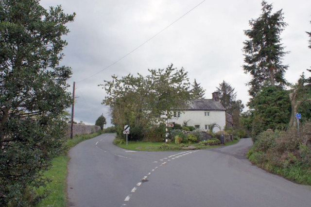
Image: © Richard Dorrell Taken: 25 Sep 2019
Minor roads just north of the centre of Greystoke village. The cottage at the junction bears the date and inscription, HH 1844.
Images are licensed for reuse under creativecommons.org/licenses/by-sa/2.0
Image Location
Latitude
54.673182
Longitude
-2.870976