Road junction at South Stanley
Introduction
The photograph on this page of Road junction at South Stanley by Robert Graham as part of the Geograph project.
The Geograph project started in 2005 with the aim of publishing, organising and preserving representative images for every square kilometre of Great Britain, Ireland and the Isle of Man.

There are currently over 7.5m images from over 14,400 individuals and you can help contribute to the project by visiting https://www.geograph.org.uk
Road junction at South Stanley
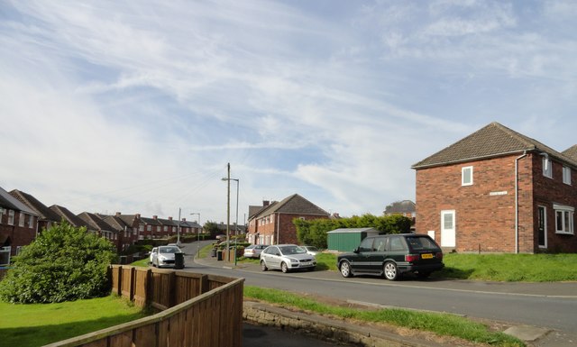
Image: © Robert Graham Taken: 13 Sep 2019
This is the eastern end of Wansbeck Avenue at its junction with Wear Road. This is at the top end of the suburb of South Stanley, a large area of housing estates next to Stanley town centre.
Images are licensed for reuse under creativecommons.org/licenses/by-sa/2.0
Image Location
Latitude
54.866175
Longitude
-1.694748