River Leven at Balloch
Introduction
The photograph on this page of River Leven at Balloch by David Dixon as part of the Geograph project.
The Geograph project started in 2005 with the aim of publishing, organising and preserving representative images for every square kilometre of Great Britain, Ireland and the Isle of Man.

There are currently over 7.5m images from over 14,400 individuals and you can help contribute to the project by visiting https://www.geograph.org.uk
River Leven at Balloch
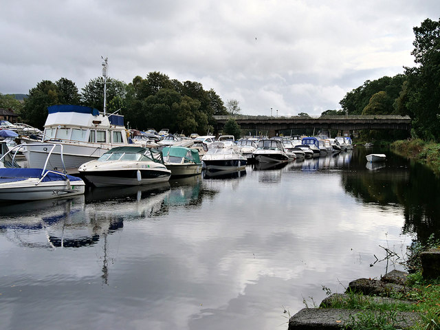
Image: © David Dixon Taken: 26 Sep 2019
The River Leven is the primary outflow from Loch Lomond. From here, it flows southwards for approximately 6 miles to join the River Clyde near Dumbarton. This view is from the path beneath Balloch Bridge, looking downstream towards Lomond Bridge.
Images are licensed for reuse under creativecommons.org/licenses/by-sa/2.0
Image Location
Latitude
56.001543
Longitude
-4.581147