Hill north of Tipalt Burn
Introduction
The photograph on this page of Hill north of Tipalt Burn by Robin Webster as part of the Geograph project.
The Geograph project started in 2005 with the aim of publishing, organising and preserving representative images for every square kilometre of Great Britain, Ireland and the Isle of Man.

There are currently over 7.5m images from over 14,400 individuals and you can help contribute to the project by visiting https://www.geograph.org.uk
Hill north of Tipalt Burn
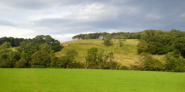
Image: © Robin Webster Taken: 14 Sep 2019
The burn runs along the far side of the near field.
Images are licensed for reuse under creativecommons.org/licenses/by-sa/2.0
Image Location
Latitude
54.973947
Longitude
-2.511127