Landscape survey, Fawdon Hill
Introduction
The photograph on this page of Landscape survey, Fawdon Hill by Andrew Curtis as part of the Geograph project.
The Geograph project started in 2005 with the aim of publishing, organising and preserving representative images for every square kilometre of Great Britain, Ireland and the Isle of Man.

There are currently over 7.5m images from over 14,400 individuals and you can help contribute to the project by visiting https://www.geograph.org.uk
Landscape survey, Fawdon Hill
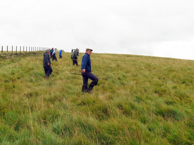
Image: © Andrew Curtis Taken: 25 Sep 2019
Field-walk to mark stony mounds or other potential archaeology features on rough grassland below the Fawdon Hill Iron Age hillfort. Volunteers are taking part in a survey for the Revitilising Redesdale Community Archaeology Project. https://www.revitalisingredesdale.org.uk/projects/lost-redesdale-revealing-the-hidden-landscape/
Images are licensed for reuse under creativecommons.org/licenses/by-sa/2.0
Image Location
Latitude
55.239185
Longitude
-2.167767