Former church at Craghead
Introduction
The photograph on this page of Former church at Craghead by Robert Graham as part of the Geograph project.
The Geograph project started in 2005 with the aim of publishing, organising and preserving representative images for every square kilometre of Great Britain, Ireland and the Isle of Man.

There are currently over 7.5m images from over 14,400 individuals and you can help contribute to the project by visiting https://www.geograph.org.uk
Former church at Craghead
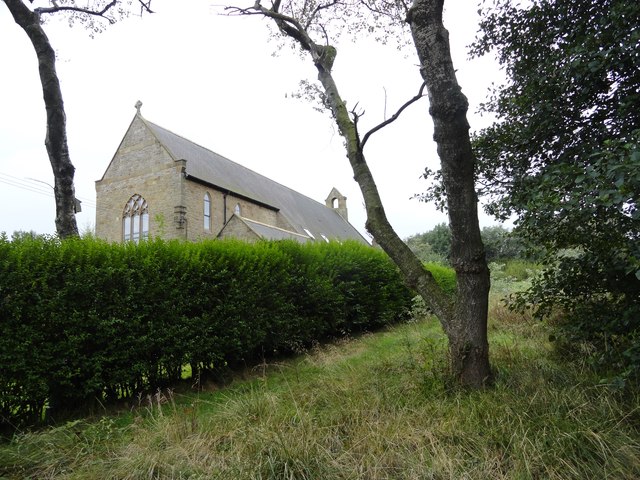
Image: © Robert Graham Taken: 9 Sep 2019
This is St Thomas' Church, which was built in 1910-11. The village had expanded in the late C19 to accommodate miners working in the nearby collieries. It is now a private house.
Images are licensed for reuse under creativecommons.org/licenses/by-sa/2.0
Image Location
Latitude
54.850285
Longitude
-1.666679