Birmingham Canal Navigations - Brasshouse Lane Bridge
Introduction
The photograph on this page of Birmingham Canal Navigations - Brasshouse Lane Bridge by Chris Allen as part of the Geograph project.
The Geograph project started in 2005 with the aim of publishing, organising and preserving representative images for every square kilometre of Great Britain, Ireland and the Isle of Man.

There are currently over 7.5m images from over 14,400 individuals and you can help contribute to the project by visiting https://www.geograph.org.uk
Birmingham Canal Navigations - Brasshouse Lane Bridge
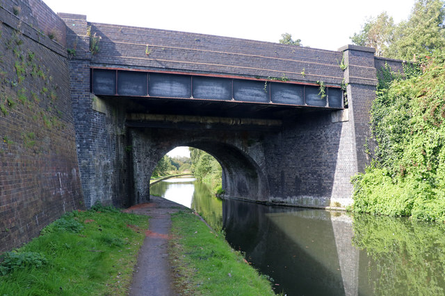
Image: © Chris Allen Taken: 14 Sep 2019
This bridge is over the Old Main Line at Brasshouse Lane and has clearly been widened. Just through the other side is the Smethwick New Pumping Station.
Images are licensed for reuse under creativecommons.org/licenses/by-sa/2.0
Image Location
Latitude
52.497912
Longitude
-1.972264