A tree carving in Cassiobury Park
Introduction
The photograph on this page of A tree carving in Cassiobury Park by Marathon as part of the Geograph project.
The Geograph project started in 2005 with the aim of publishing, organising and preserving representative images for every square kilometre of Great Britain, Ireland and the Isle of Man.

There are currently over 7.5m images from over 14,400 individuals and you can help contribute to the project by visiting https://www.geograph.org.uk
A tree carving in Cassiobury Park
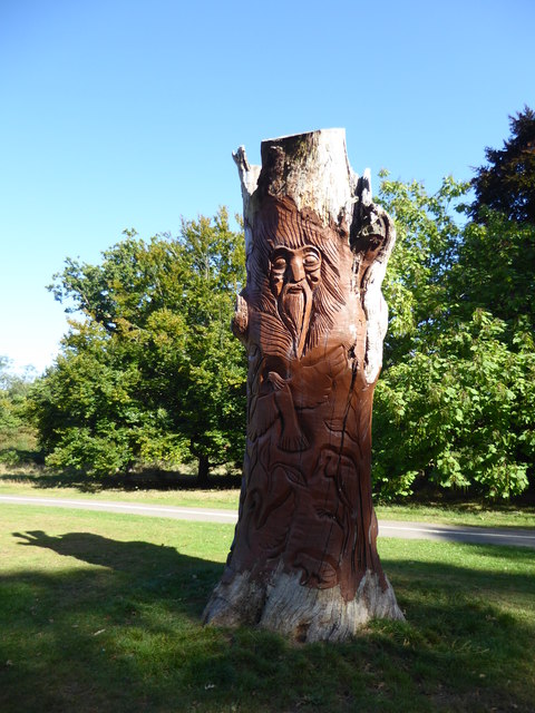
Image: © Marathon Taken: 18 Sep 2019
The lands of Cassiobury House belonged to the Earls of Essex for over 300 years. The original lands of Cassiobury House were recorded in an 1837 book as stretching to 693 acres, which included the parkland, the wood walks, lawns and gardens immediately around the house. Today's park comprises 190 acres of those old lands, including the modern day Whipendell Woods. Cassiobury became a public park in 1909. Cassiobury House was subsequently demolished in 1927. A full history can be seen at https://en.wikipedia.org/wiki/Cassiobury_Park This carving is not far from the bandstand and the cafe.
Images are licensed for reuse under creativecommons.org/licenses/by-sa/2.0
Image Location
Latitude
51.65882
Longitude
-0.414033