Bilingual nameboard on the wall of Llantwit Major ambulance station
Introduction
The photograph on this page of Bilingual nameboard on the wall of Llantwit Major ambulance station by Jaggery as part of the Geograph project.
The Geograph project started in 2005 with the aim of publishing, organising and preserving representative images for every square kilometre of Great Britain, Ireland and the Isle of Man.

There are currently over 7.5m images from over 14,400 individuals and you can help contribute to the project by visiting https://www.geograph.org.uk
Bilingual nameboard on the wall of Llantwit Major ambulance station
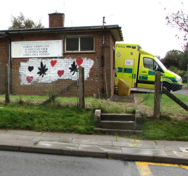
Image: © Jaggery Taken: 25 Sep 2019
The board on the left here https://www.geograph.org.uk/photo/6277655 shows that LLANTWIT MAJOR AMBULANCE STATION is GORSAF AMBIWLANS LLANILLTAD FAWR. LLANILLTAD is a typo. It should be LLANILLTUD.
Images are licensed for reuse under creativecommons.org/licenses/by-sa/2.0
Image Location
Latitude
51.410562
Longitude
-3.481068