Dumbain Gardens
Introduction
The photograph on this page of Dumbain Gardens by Lairich Rig as part of the Geograph project.
The Geograph project started in 2005 with the aim of publishing, organising and preserving representative images for every square kilometre of Great Britain, Ireland and the Isle of Man.

There are currently over 7.5m images from over 14,400 individuals and you can help contribute to the project by visiting https://www.geograph.org.uk
Dumbain Gardens
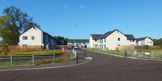
Image: © Lairich Rig Taken: 20 Sep 2019
The houses were built only recently, as is shown by comparison with Image, taken in mid-2018 from almost the same place.
Images are licensed for reuse under creativecommons.org/licenses/by-sa/2.0
Image Location
Latitude
56.005341
Longitude
-4.567123