Grassed area at eastern end of Durham Cathedral
Introduction
The photograph on this page of Grassed area at eastern end of Durham Cathedral by Trevor Littlewood as part of the Geograph project.
The Geograph project started in 2005 with the aim of publishing, organising and preserving representative images for every square kilometre of Great Britain, Ireland and the Isle of Man.

There are currently over 7.5m images from over 14,400 individuals and you can help contribute to the project by visiting https://www.geograph.org.uk
Grassed area at eastern end of Durham Cathedral
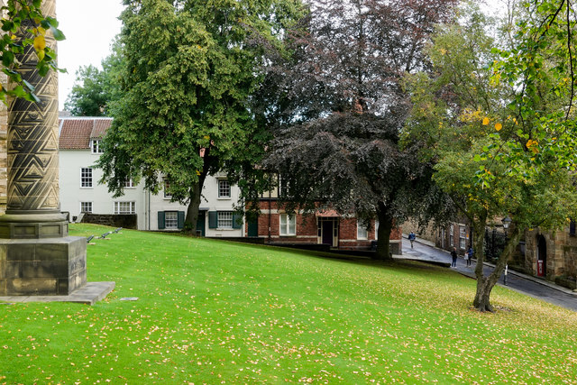
Image: © Trevor Littlewood Taken: 26 Sep 2019
The cathedral is immediately to the left out of the image beyond the decorated pillar which is a war memorial; the dates 1914-1918 can be discerned on the outward face of the base.The road passing at the right side of the image is North Bailey. There are houses at the far end of the grass beyond the trees.
Images are licensed for reuse under creativecommons.org/licenses/by-sa/2.0
Image Location
Latitude
54.773435
Longitude
-1.575129