The end of Keble Close
Introduction
The photograph on this page of The end of Keble Close by Malcolm Neal as part of the Geograph project.
The Geograph project started in 2005 with the aim of publishing, organising and preserving representative images for every square kilometre of Great Britain, Ireland and the Isle of Man.

There are currently over 7.5m images from over 14,400 individuals and you can help contribute to the project by visiting https://www.geograph.org.uk
The end of Keble Close
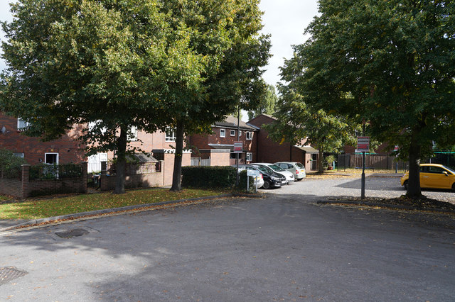
Image: © Malcolm Neal Taken: 25 Sep 2019
This is the vehicle turning space at the end of Keble Close as it is blocked off from Oxford Street by a series of bollards.
Images are licensed for reuse under creativecommons.org/licenses/by-sa/2.0
Image Location
Latitude
52.913574
Longitude
-1.468031