Humbledown Lane at Blackhouse
Introduction
The photograph on this page of Humbledown Lane at Blackhouse by Robert Graham as part of the Geograph project.
The Geograph project started in 2005 with the aim of publishing, organising and preserving representative images for every square kilometre of Great Britain, Ireland and the Isle of Man.

There are currently over 7.5m images from over 14,400 individuals and you can help contribute to the project by visiting https://www.geograph.org.uk
Humbledown Lane at Blackhouse
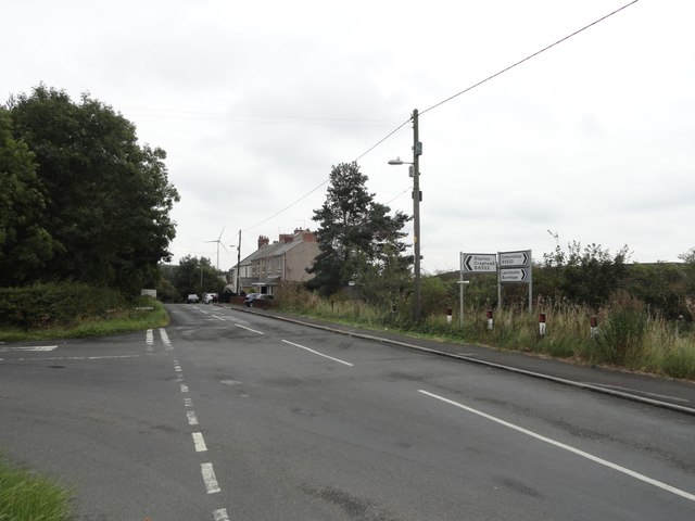
Image: © Robert Graham Taken: 9 Sep 2019
Looking north at the road junction with Lowery Lane, on the left. These houses form part of the hamlet of Blackhouse near Craghead.
Images are licensed for reuse under creativecommons.org/licenses/by-sa/2.0
Image Location
Latitude
54.846298
Longitude
-1.65472