Land adjacent to Willingdon Golf course 1950
Introduction
The photograph on this page of Land adjacent to Willingdon Golf course 1950 by Crispin Purdye as part of the Geograph project.
The Geograph project started in 2005 with the aim of publishing, organising and preserving representative images for every square kilometre of Great Britain, Ireland and the Isle of Man.

There are currently over 7.5m images from over 14,400 individuals and you can help contribute to the project by visiting https://www.geograph.org.uk
Land adjacent to Willingdon Golf course 1950
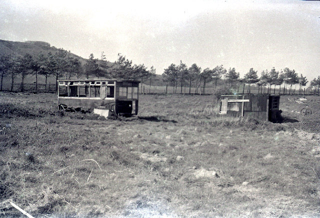
Image: © Crispin Purdye Taken: Unknown
This view is of land prior to development as a small holding with bungalow and outbuildings. It was taken looking due north. The hill is Coombe Hill Willingdon. The Golf Course boundary is the row of trees. The smallholding was demolished in 1961 to make way for an apartment block.
Images are licensed for reuse under creativecommons.org/licenses/by-sa/2.0
Image Location
Latitude
50.78416
Longitude
0.249917