Larkfield Road
Introduction
The photograph on this page of Larkfield Road by Thomas Nugent as part of the Geograph project.
The Geograph project started in 2005 with the aim of publishing, organising and preserving representative images for every square kilometre of Great Britain, Ireland and the Isle of Man.

There are currently over 7.5m images from over 14,400 individuals and you can help contribute to the project by visiting https://www.geograph.org.uk
Larkfield Road
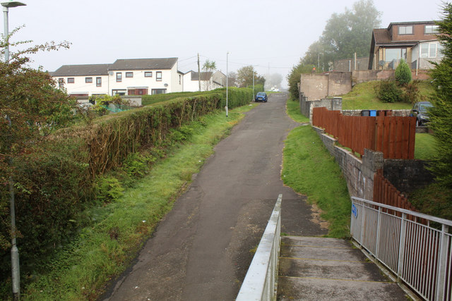
Image: © Thomas Nugent Taken: 20 Sep 2019
This part of the road was truncated when Inverclyde Royal Hospital opened in the late 1970s. It now provides access to Larkfield Grove and some houses only.
Images are licensed for reuse under creativecommons.org/licenses/by-sa/2.0
Image Location
Latitude
55.941376
Longitude
-4.804726