Albion Row, Fore Street
Introduction
The photograph on this page of Albion Row, Fore Street by Jonathan Wilkins as part of the Geograph project.
The Geograph project started in 2005 with the aim of publishing, organising and preserving representative images for every square kilometre of Great Britain, Ireland and the Isle of Man.

There are currently over 7.5m images from over 14,400 individuals and you can help contribute to the project by visiting https://www.geograph.org.uk
Albion Row, Fore Street
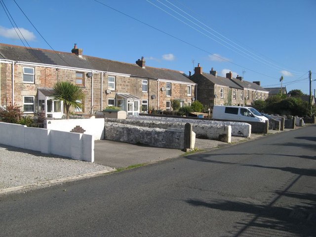
Image: © Jonathan Wilkins Taken: 20 Sep 2019
Another fine terrace of stone-built cottages, this time with commodious space which was presumably a kitchen garden originally. The old railway line runs on the opposite side of the row.
Images are licensed for reuse under creativecommons.org/licenses/by-sa/2.0
Image Location
Latitude
50.23085
Longitude
-5.179613