Signpost for footpath to Dry Drayton
Introduction
The photograph on this page of Signpost for footpath to Dry Drayton by Martin Tester as part of the Geograph project.
The Geograph project started in 2005 with the aim of publishing, organising and preserving representative images for every square kilometre of Great Britain, Ireland and the Isle of Man.

There are currently over 7.5m images from over 14,400 individuals and you can help contribute to the project by visiting https://www.geograph.org.uk
Signpost for footpath to Dry Drayton
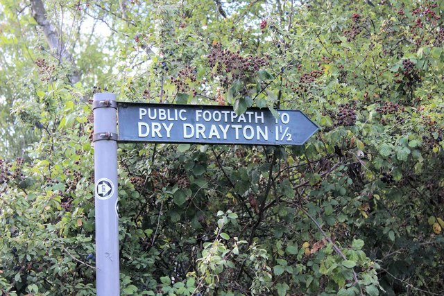
Image: © Martin Tester Taken: 12 Sep 2019
The start of the path from Hardwick to Dry Drayton is marked by this signpost. For views along St Neot's Road see Image and Image For the first view on the path see Image
Images are licensed for reuse under creativecommons.org/licenses/by-sa/2.0
Image Location
Latitude
52.218061
Longitude
0.007656