Housing in Stone, Staffordshire
Introduction
The photograph on this page of Housing in Stone, Staffordshire by Roger Kidd as part of the Geograph project.
The Geograph project started in 2005 with the aim of publishing, organising and preserving representative images for every square kilometre of Great Britain, Ireland and the Isle of Man.

There are currently over 7.5m images from over 14,400 individuals and you can help contribute to the project by visiting https://www.geograph.org.uk
Housing in Stone, Staffordshire
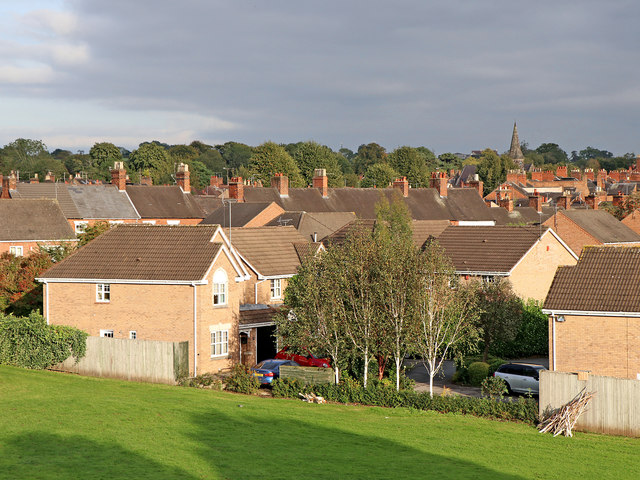
Image: © Roger Kidd Taken: 16 Sep 2019
This estate is in the Stonefield area of Stone, seen by looking east from the railway footbridge in evening autumn sunlight. The foreground houses are in Trinity Drive.
Images are licensed for reuse under creativecommons.org/licenses/by-sa/2.0
Image Location


Leaflet Map data © OpenStreetMap
Latitude
52.906485
Longitude
-2.152804