Berneray School across Loch a' Bh?igh (Bays Loch or Broadbay)
Introduction
The photograph on this page of Berneray School across Loch a' Bh?igh (Bays Loch or Broadbay) by Eilidh Carr as part of the Geograph project.
The Geograph project started in 2005 with the aim of publishing, organising and preserving representative images for every square kilometre of Great Britain, Ireland and the Isle of Man.

There are currently over 7.5m images from over 14,400 individuals and you can help contribute to the project by visiting https://www.geograph.org.uk
Berneray School across Loch a' Bh?igh (Bays Loch or Broadbay)
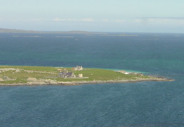
Image: © Eilidh Carr Taken: 2 Oct 2005
Looking over to Berneray primary school which is now closed (main building in picture). The Hostel is to the right (white building) and away in the background is the mainland of Harris.
Images are licensed for reuse under creativecommons.org/licenses/by-sa/2.0
Image Location


Leaflet Map data © OpenStreetMap
Latitude
57.717983
Longitude
-7.157832