Forest road in Deborah Plantation
Introduction
The photograph on this page of Forest road in Deborah Plantation by Trevor Littlewood as part of the Geograph project.
The Geograph project started in 2005 with the aim of publishing, organising and preserving representative images for every square kilometre of Great Britain, Ireland and the Isle of Man.

There are currently over 7.5m images from over 14,400 individuals and you can help contribute to the project by visiting https://www.geograph.org.uk
Forest road in Deborah Plantation
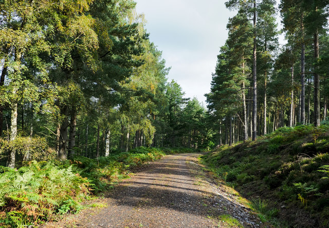
Image: © Trevor Littlewood Taken: 23 Sep 2019
Deborah Plantation exists as ribbons of trees on both the east and west sides of Bolt's Burn; this road is on the east side and the view here is to the north.
Images are licensed for reuse under creativecommons.org/licenses/by-sa/2.0
Image Location
Latitude
54.838951
Longitude
-2.068009